Stockholm’s inner city — innerstaden — is the compact, largely 19th- and early 20th-century core built across a cluster of islands and a peninsula, dense with stone apartment blocks on a fairly regular street pattern. The suburbs, ytterstaden, are the districts built mostly after 1945, further from the centre, often organised around a single metro station rather than a street grid.
What does “inner city” actually mean in Stockholm?
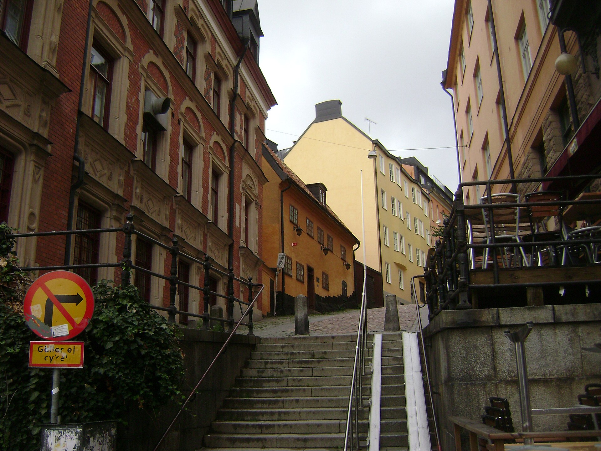
In everyday use, and in the City of Stockholm’s own statistical groupings, innerstaden refers to the historic core: Gamla Stan, Norrmalm, Östermalm, Kungsholmen, Vasastan, Södermalm, and the museum islands of Djurgården and Skeppsholmen. These areas share a building stock that is mostly pre-1930s, laid out in continuous street-facing blocks of five or six storeys, with courtyards behind rather than gardens in front.
The boundary is not arbitrary. Much of it tracks the old customs line of the city, marked historically by toll gates — tullar — whose names survive in places like Skanstull and Roslagstull, both now metro stations. Everything inside that line was, at various points before the 20th century, physically the town; everything outside it was farmland, summer villas, or open country until Stockholm expanded to absorb it.
For a fuller picture of how these central districts are defined and bordered, see how Stockholm is divided administratively, and the individual entries on Södermalm, Östermalm, and Vasastan.
What counts as the suburbs, and where do they begin?
Ytterstaden covers the districts of Stockholm municipality outside the historic core — areas such as Bromma, Hägersten, Skärholmen, Farsta, Hässelby, Vällingby, and the Rinkeby-Kista district, among others. Most were built, or substantially rebuilt, during the second half of the 20th century as the city’s population grew and housing policy shifted toward large-scale planned construction.
A significant share of this outer housing dates from the miljonprogrammet, the national “million programme” of roughly 1965 to 1974, during which Sweden built about a million dwellings to address a housing shortage. Many of these estates sit in Stockholm’s outer districts and remain a defining part of the ytterstad landscape — multi-storey concrete blocks set among lawns and courtyards, generally further from a continuous street frontage than anything in the inner city.
Not every outer district fits that mould. Vällingby, completed in the 1950s under city planner Sven Markelius, was built as a self-contained “ABC town” — Arbete, Bostad, Centrum, meaning work, housing and centre — designed around a train station and a shopping precinct rather than following the million programme’s later, larger-scale template.
Why do the suburbs look so different from the centre?
The inner city was largely built before the car and before zoning separated housing from shops and offices. Its blocks front directly onto the street, ground floors hold commerce, and density is high because land inside the old town limits was expensive and finite.
The outer districts were built after planners had adopted very different assumptions: that traffic should be separated from pedestrians, that housing should be surrounded by green space rather than facing a street directly, and that a local centre — shops, a school, a metro station — should serve a defined catchment of residents rather than sit on a through-route. That is why an outer suburb often reads as a cluster of buildings around a single square and station, with green space between blocks, rather than a continuous urban fabric.
Is everything a “suburb” actually part of Stockholm?
Not always, and this trips up newcomers. Stockholm municipality (Stockholms kommun) is one of 26 municipalities that make up Stockholm County (Stockholms län). Districts like Skärholmen, Farsta, and Bromma are inside Stockholm municipality and administered by its district councils, alongside the inner city, as part of the same city government.
Places such as Solna, Sundbyberg, Nacka, Lidingö, and Danderyd, by contrast, are separate municipalities. They border the city, are served by the same regional transport network, and function in daily life as part of “greater Stockholm,” but they have their own councils, their own budgets, and their own mayors — they are not legally part of Stockholm’s ytterstad at all, even though the built environment and the metro map make the seam invisible to a visitor.
This distinction matters for anyone trying to understand how the region actually governs itself, and it is covered in more detail on how Stockholm is divided administratively, and why.
How does the transport system tie inner city and suburbs together?
The regional operator, SL (Storstockholms Lokaltrafik), runs a single integrated network — tunnelbana, commuter trains, buses, trams, and ferries — across both the inner city and the outer municipalities on a shared, rechargeable travel card. Fares are structured by zone, and journeys that cross more zones generally cost more, so a trip from the inner city out to a suburb sits in a different fare band than a short hop within Södermalm or Norrmalm.
Because zone boundaries and prices are adjusted periodically, this site does not quote specific fares; SL’s own site carries the current zone map and prices and is the source to check before travelling.
The three tunnelbana lines radiate outward from the centre, and several of the city’s outer districts were built specifically along a line as it was extended — Vällingby and Farsta both grew up around stations that were, at the time, the literal edge of the network. For an overview of how the network works day to day, see Getting Around and the wider practical planning hub.
Does the inner/outer divide match “old” and “new” Stockholm exactly?
Mostly, but not perfectly. Some areas complicate the picture deliberately. Hammarby Sjöstad, built from the 1990s onward on former industrial land just south of the inner city, was designed with urban density, mixed use, and integrated transit — much closer in character to the inner city than to a million-programme suburb, despite being recent construction.
Gärdet sits inside the inner-city boundary geographically but reads very differently from Södermalm or Vasastan, because much of it is protected open parkland rather than built-up blocks. And several islands close to the centre, covered in the overview of which islands Stockholm is built on, were never intensively built up at all, having been reserved for military, royal, or museum use rather than housing.
So the inner city/suburb split is a useful shorthand for building era and street pattern, but it is not a strict ring drawn on a map — there are pockets of open land inside the historic core and pockets of dense, planned urbanism well outside it.
What does this mean for someone living here versus visiting?
For a visitor, the practical effect is mostly about distance and density: the inner-city districts hold the majority of the museums, historic sights, and walkable streets covered across this site’s guide to Stockholm’s neighbourhoods and landmarks, while the outer suburbs are largely residential, reached by metro or bus, and rarely a stop on a short visit unless there is a specific reason to go.
For a resident, the divide shapes almost everything: apartment size and layout, proximity to a metro line versus a bus route, whether a local centre means a handful of shops around a square or a continuous high street, and how much green space sits directly outside the door. Housing costs generally track this divide too, with inner-city stock commanding a premium tied to its age, scarcity, and location, and outer districts offering larger, newer, or more affordable homes further from the centre.
- Inner city (innerstaden): Gamla Stan, Norrmalm, Östermalm, Kungsholmen, Vasastan, Södermalm, plus Djurgården and Skeppsholmen
- Outer city (ytterstaden): districts such as Bromma, Hässelby-Vällingby, Skärholmen, Farsta, Skarpnäck, and Rinkeby-Kista, all still within Stockholm municipality
- Neighbouring but separate: Solna, Sundbyberg, Nacka, Lidingö, and other municipalities in Stockholm County, connected by the same transport network but governed independently
The wider question of what daily life in these different settings actually involves — rent, commuting patterns, local services — is treated in more depth on the living in Stockholm hub, and district-by-district detail sits in the neighbourhoods archive.
Access Stockholm is an independent guide written from published, checkable sources. We have not visited the places described here and we do not publish personal recommendations or invented ‘local favourites’ — where something is singled out as notable, we say who says so. Opening times, fares, closures and prices change at short notice, so treat everything here as a starting point and confirm with the museum, operator or venue directly before building a day around it. We give no advice on visas, insurance, health or safety; use your own government’s official guidance for those.
Featured image: Photo by Øyvind Holmstad, source, CC BY-SA 4.0
