A walking route through Gamla Stan works best as a loop of under two kilometres: start near Slussen or the Gamla Stan metro station, cross to Stortorget, take in Storkyrkan and the Royal Palace, cut through the narrow medieval lanes to Västerlånggatan, and finish either at Riddarholmen or back at the water. Most of it can be walked slowly in two to three hours.
Where does the route actually sit?
Gamla Stan is the medieval core of Stockholm, built on the island of Stadsholmen, with the smaller islet of Riddarholmen attached to its west side by a short bridge. The street pattern dates largely from the 13th to 17th centuries and has changed little since — narrow, often crooked, and laid out for foot traffic long before anything else. A full account of the district’s founding and layout is covered separately; this route assumes that background and focuses on how to move through it on foot.
Where does the walk start and end?
The two practical anchors are the Gamla Stan T-bana station, on the metro’s red and green lines, and Slussen, the transport interchange immediately south of the island. Both put a visitor within a few minutes of Järntorget, the small square that marks the southern edge of the old town. Starting there and finishing at Riddarholmen — or the reverse — avoids doubling back through the same lanes twice.
What is on Stortorget, and why does it matter?
Stortorget is the oldest square in Stockholm and the geographic centre of Gamla Stan, ringed by tall merchant houses from the 17th and 18th centuries, including the ochre-red Börsen building that now houses the Swedish Academy and the Nobel Library. It is also the recorded site of the Stockholm Bloodbath of 1520, when Danish king Christian II had dozens of Swedish nobles executed in the square. The history behind that event, and what remains of it in the square’s fabric, is documented in more detail elsewhere on this site.
What does Storkyrkan actually contain?
Storkyrkan, formally Sankt Nikolai kyrka, is Stockholm’s cathedral and one of the oldest buildings in the city, with parts dating to the 13th century. It holds the wooden sculpture of Saint George and the Dragon by Bernt Notke, commissioned in the 1480s and one of the most significant surviving works of late medieval Nordic sculpture, and it remains the church used for royal coronations and state occasions. Its interior — vaulting, tomb monuments, the Notke sculpture — is described in full in a separate article; on the walk itself it sits directly beside the Royal Palace, making the two a natural single stop.
How does the Royal Palace fit into a walking route?
The Kungliga slottet, the Royal Palace, is the official residence of the Swedish monarch and one of the largest palaces in Europe still in active royal use, though the current king does not live there day to day. Public sections include the Royal Apartments, the Treasury, and the Royal Armoury, each run as a separate museum with its own admission arrangement. A route through Gamla Stan does not require going inside any of them — the palace’s scale and the changing-of-the-guard ceremony that takes place in its outer courtyard are visible from the square without a ticket — but a reader planning to enter should check current hours directly with the Royal Palace’s own visitor information, since royal and state functions occasionally close sections without notice.
What is on Riddarholmen, and is it worth the detour?
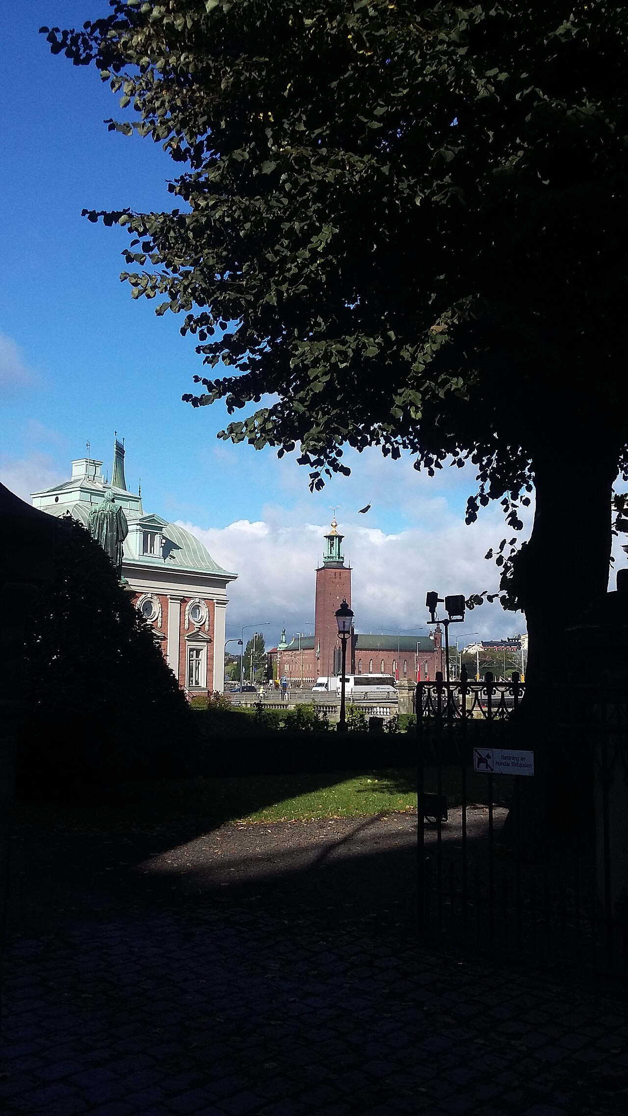
Riddarholmen is a small islet reached by a short bridge from the western edge of Gamla Stan, quieter and less commercial than the main old town because it has almost no shops or restaurants. Its central building is Riddarholmskyrkan, a former Franciscan friary church that has served since the 17th century as the burial church of Swedish monarchs; the majority of Sweden’s kings from Gustav II Adolf onward are interred there. The detour adds perhaps 15–20 minutes and is the one part of the route with genuinely open sightlines to the water and Riddarfjärden, since the buildings are lower and more spread out than in the core of the old town.

What happens on Västerlånggatan and the narrow lanes?
Västerlånggatan is the old town’s main pedestrian spine, running roughly north–south along what was, before land reclamation, the western shoreline of the island — the name translates literally as “the long street to the west.” It is now the most commercially dense street in Gamla Stan, lined with shops selling everything from souvenirs to design goods, and it carries the heaviest foot traffic of anywhere in the district. A route through Gamla Stan typically uses Västerlånggatan as a connector rather than a destination, cutting off it into the side lanes that run east toward Stortorget.
The most notable of these side lanes is Mårten Trotzigs Gränd, generally cited as the narrowest public street in Stockholm, at roughly 90 centimetres across at its tightest point and built as a set of stone steps. It is named after a 16th-century German-born merchant who owned property at both ends. A walking route benefits from including it specifically because it demonstrates something the wider streets don’t: how tightly the medieval plots were subdivided, and how little the footprint of the island has changed since.
What else sits along a sensible route?
- Järntorget — the old iron-trading square at the southern entrance to Gamla Stan, historically where the metal that built much of Sweden’s early trade economy was weighed and sold.
- Köpmantorget — a small square holding a bronze copy of the Saint George and the Dragon group from Storkyrkan, cast for outdoor display.
- Tyska kyrkan, the German Church — built for Stockholm’s historically large German merchant community and still an active Lutheran congregation, with a distinctive copper spire visible from several points on the route.
- Medeltidsmuseet, the Museum of Medieval Stockholm — technically just off the island, reached via a passage near the Riksdag building, but built directly around excavated remains of the city’s medieval defensive wall and worth folding into the same outing.
How long does the route actually take?
Walked without stopping, the loop described here covers roughly 1.5–2 kilometres and takes 30–40 minutes. With time inside Storkyrkan, a stop at one of the palace museums, and the Riddarholmen detour, a realistic figure is two to three hours. Gamla Stan’s cobbled surfaces and stepped lanes make it slower than flat pavement elsewhere in the city, and pushchairs or wheeled luggage struggle on several of the narrower streets — a point covered in more general terms in the site’s account of how walkable central Stockholm actually is.
When does the route work best?
Early morning and early evening carry noticeably less foot traffic on Västerlånggatan and Stortorget than midday, particularly in the main summer season when cruise-ship and coach groups move through the district in blocks. Winter changes the character of the walk rather than closing it — Storkyrkan and the palace museums keep their own seasonal hours, which should be checked directly with each institution, but the streets themselves are open and walkable year-round, with cobbles that can be genuinely slippery under ice.
How does this fit into a longer Stockholm visit?
Gamla Stan is usually the first or second stop on any structured visit to the city, both because of its central position and because so much of Stockholm’s early history is concentrated there. A broader sequencing of a first visit, including where this walk sits relative to Djurgården’s museums or Södermalm’s viewpoints, is laid out in the site’s guide to a first visit to Stockholm in a sensible order. For background on the district as a whole — its founding, its islands, and how it became the version of Gamla Stan visible today — see the site’s separate account of Gamla Stan’s history.
More general planning resources, including day-by-day itineraries and practical transport detail for reaching the old town from elsewhere in the city, are gathered in the site’s neighbourhood and itinerary archives.
Related reading
what the city is like to actually live in, getting around, planning, itineraries, food and the archipelago, museums, landmarks, neighbourhoods and day trips, Planning a Stockholm Day in December’s Four Hours of Light, How Do You Plan a Stockholm Day in the Rain?, What Is Långholmen, and What Was It Before?, Stockholm Day Trips Compared: What Your Travel Pass Actually Covers
Access Stockholm is an independent guide written from published, checkable sources. We have not visited the places described here and we do not publish personal recommendations or invented ‘local favourites’ — where something is singled out as notable, we say who says so. Opening times, fares, closures and prices change at short notice, so treat everything here as a starting point and confirm with the museum, operator or venue directly before building a day around it. We give no advice on visas, insurance, health or safety; use your own government’s official guidance for those.
Featured image: Photo by Gerda Arendt, source, CC BY-SA 4.0
