Stockholm’s districts differ mainly by age of building stock, island or mainland geography, and distance from the centre by rail. Inner-city districts like Södermalm and Vasastan are dense, older, and expensive; outer suburbs vary from 1930s garden-city blocks to 1960s–70s mass housing, and are cheaper but rely more heavily on commuter rail and the metro.
How is Stockholm actually divided?
Stockholm municipality is split into fourteen administrative districts, or stadsdelsnämnder, each with its own local council responsible for schools, elderly care and local services — a structure the City of Stockholm’s own governance pages describe as the basic unit of local administration below the municipal level. These don’t map neatly onto the names residents actually use day to day; “Södermalm” or “Vasastan” are historical and geographic labels, while a stadsdelsnämnd might bundle several such areas together.
Above that sits Stockholm County (Stockholms län), made up of 26 separate municipalities, of which Stockholm city is only one — Nacka, Solna, Sundbyberg and Huddinge are others, each with their own housing markets and services. A fuller breakdown of how these layers fit together is covered in how Stockholm is divided administratively.
What’s the difference between the inner city and the suburbs?
The basic split residents use is innerstaden (inner city) versus ytterstaden (outer city). The inner city is the pre-1950s built-up core — Södermalm, Vasastan, Östermalm, Kungsholmen, Norrmalm and Gamla Stan — largely stone apartment buildings on a dense street grid, walkable, and served by multiple metro lines. The outer city is everything built afterwards, ranging from leafy 1930s functionalist suburbs to large 1960s–70s housing estates, generally reliant on a single metro or commuter-rail line into town. This distinction is explored in more detail in inner city versus suburbs in Stockholm.
Rent and purchase prices track this divide closely: inner-city apartments, particularly on Östermalm and Södermalm, sit well above the county average, while outer districts vary widely depending on transport links and building age.
What is Södermalm like as a place to live?
Södermalm is the southern island of the inner city, historically a working-class district of small workshops and dockside industry, now one of the most densely populated parts of the city. Its building stock is mostly late-19th and early-20th-century tenement blocks, with narrower streets and steeper terrain than the northern inner city. It contains Tantolunden, one of the largest public parks in the district, described in more detail in what Tantolunden is and how it functions as Södermalm’s park. Housing here is overwhelmingly apartments, split between cooperative ownership (bostadsrätt) and rental (hyresrätt) contracts, the latter allocated partly through the city’s housing queue — a system explained in how the Stockholm housing queue works.
How do Vasastan, Östermalm and Kungsholmen compare?
These three inner-city districts share dense, pre-war apartment stock but differ in layout and history. Vasastan follows a strict 19th-century grid north of the city centre, built mostly between 1880 and 1930; a fuller account of its street pattern and architecture is at what Vasastan is and how it developed. Östermalm, further east, was built as the city’s grandest residential quarter in the same period and retains the highest average property values in the municipality. Kungsholmen, the western island, mixes older tenement blocks near Fridhemsplan with early-20th-century civic buildings around Stadshuset (the City Hall) and newer development toward the water — a more varied district than either of the other two.
What are the newer built districts like?
Several districts close to the centre were built or substantially redeveloped from the 1990s onward, filling in former industrial or rail land. Hammarby Sjöstad, south of Södermalm around the Hammarby lake, was constructed from the late 1990s as a model sustainable district; the City of Stockholm’s own material on the area describes the integrated approach to water, waste and energy systems used there, detailed further in what Hammarby Sjöstad is and how its systems work. Södra Station, built on former railway marshalling land bordering Södermalm, is a similar infill development from the same period, covered in what the Södra Station area is. Gärdet, to the northeast near Djurgården, is older — built mainly in the 1930s and 40s as functionalist blocks around open green space — and is covered in what Gärdet is and how it developed.

What are the million programme suburbs?
Between roughly 1965 and 1975, Sweden ran a national construction programme aimed at building one million new homes to address a housing shortage — the miljonprogrammet, or million programme. In and around Stockholm this produced large-scale apartment estates such as Tensta, Rinkeby, Vällingby and Skärholmen, typically built with prefabricated concrete panels and organised around a metro or bus hub with separated pedestrian and vehicle routes. The reasoning behind the programme and how these areas function today is set out in what the million programme suburbs are and why they were built. Rents in these districts are generally lower than the inner city, and several have seen significant renovation and infill development in recent decades.
How does commuting shape where people choose to live?
Stockholm’s outer districts are structured almost entirely around rail access. The commuter train network (pendeltåg) and the metro’s three lines fan out from the centre, and a suburb’s desirability tracks its journey time into T-Centralen at least as much as its housing stock. Someone weighing where to live typically checks which line serves the area, how often trains run outside peak hours, and whether a monthly or annual travel pass makes sense given the commute — a calculation covered in whether the SL travel card is worth it for a resident.
This also affects contract type. First-hand rental contracts (signed directly with a landlord or the municipal housing queue) are harder to secure in central districts and more available further out; second-hand subletting is common everywhere but carries different legal protections. The distinction matters enough to warrant its own explanation in first-hand versus second-hand renting in Sweden.
Does being on an island change daily life?
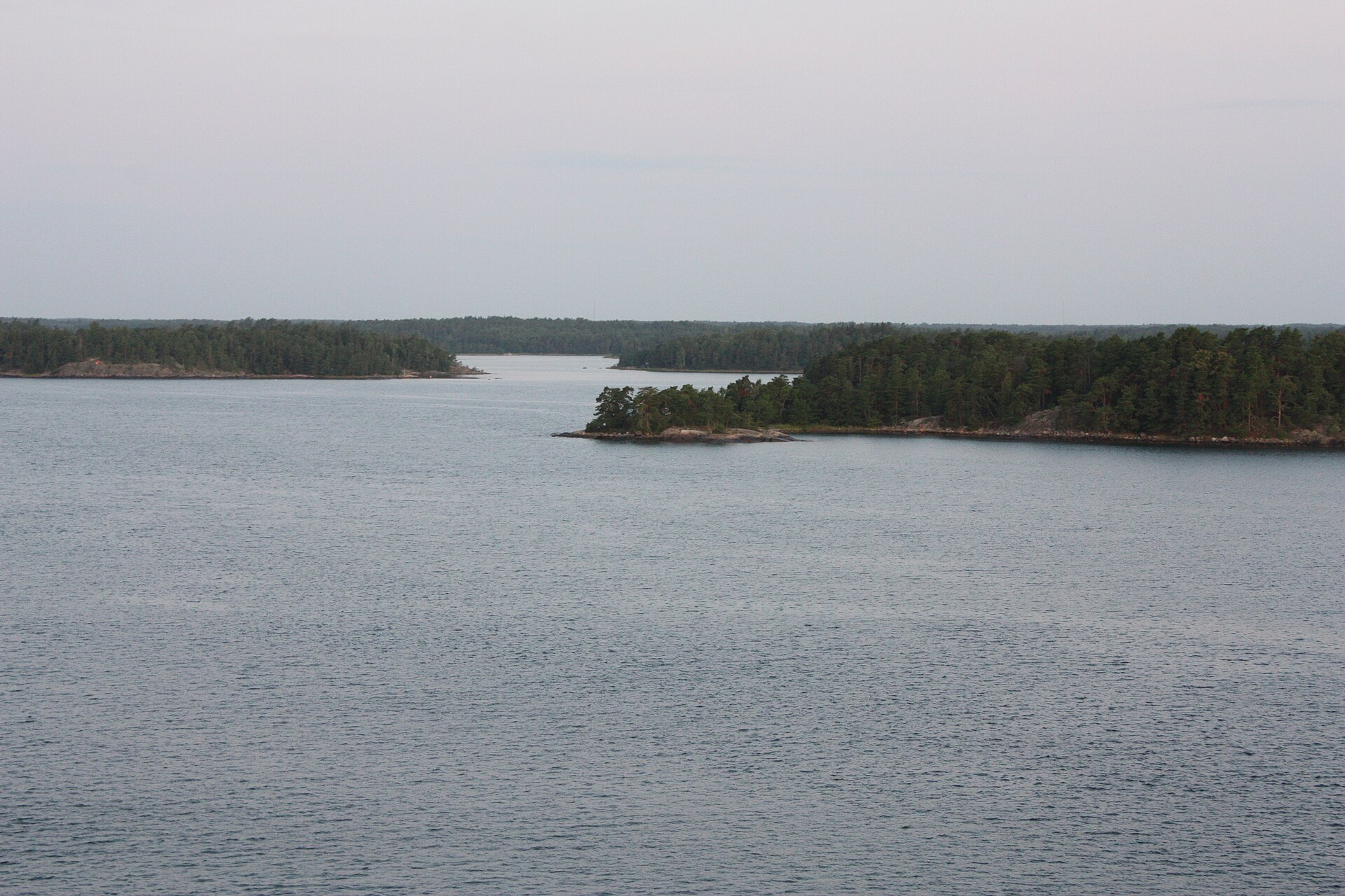
Central Stockholm is built across a cluster of islands and a section of mainland, and this genuinely shapes commuting patterns rather than being a scenic detail. Kungsholmen, Södermalm and the city centre are each separated by water, so a short distance on a map can mean a longer transit journey than it looks, and bridge or ferry disruption has a direct effect on how districts connect. Some residents rely on the Djurgården ferry network or other short water crossings as part of a normal commute rather than a leisure trip — the pattern is explained in how the Djurgården ferry network operates.
What should someone weigh when choosing a district?
There is no single “best” district — the trade-offs are consistent rather than hidden:
- Inner-city districts (Södermalm, Vasastan, Östermalm, Kungsholmen) offer walkability and density but the highest rents and property prices.
- Districts built from the 1990s onward, like Hammarby Sjöstad and Södra Station, offer newer construction and planned infrastructure close to the centre.
- Million programme suburbs offer lower cost and reliable rail or metro links, with a very different building stock and, in some, a longer-standing multicultural population.
- Commute time depends on which line serves a district and how frequently it runs outside peak hours — worth checking against current SL timetables before committing to an area.
A broader look at how daily routines, school placement and household costs vary across the city is available on the living in Stockholm hub, with further reporting in the neighbourhoods archive and the living in Stockholm archive.
Access Stockholm is an independent guide written from published, checkable sources. We have not visited the places described here and we do not publish personal recommendations or invented ‘local favourites’ — where something is singled out as notable, we say who says so. Opening times, fares, closures and prices change at short notice, so treat everything here as a starting point and confirm with the museum, operator or venue directly before building a day around it. We give no advice on visas, insurance, health or safety; use your own government’s official guidance for those.
Featured image: Photo by Bin im Garten, source, CC BY-SA 3.0
