Central Stockholm is walkable at a scale unusual for a European capital: the historic core, the main shopping streets, and several major waterfront districts all sit within roughly a three-kilometre radius of T-Centralen, the city’s main transit hub. Most walks between neighbouring districts take fifteen to thirty-five minutes. Crossing the water usually means a bridge, not a boat.
What actually counts as “central” Stockholm?
There’s no single official boundary, but in practical terms the walkable core covers Norrmalm (the main commercial district), Gamla Stan (the medieval old town), Södermalm’s northern edge, Östermalm, the eastern part of Kungsholmen, and Djurgården’s landward side. Beyond that ring, the city becomes a network of districts reached mainly by metro, bus or commuter train rather than on foot.
Stockholm’s own administrative divisions cut across this walkable core in ways that don’t always match how people move through it — a point covered in more detail in how Stockholm is divided administratively. For the purposes of walking, it’s more useful to think in terms of islands and bridges than borough lines.
How far is it between the main districts, on foot?
Straight-line distances in central Stockholm are short, but the water adds detours. As a rough guide, based on standard mapping distances between well-known landmarks in each district:
- T-Centralen to Gamla Stan: about 1 km, roughly a 12–15 minute walk.
- Gamla Stan to Slussen, at the northern edge of Södermalm: under 1 km, about 10 minutes.
- Norrmalm (Sergels Torg) to Östermalmstorg: roughly 1.5–2 km, around 20–25 minutes.
- Norrmalm to central Kungsholmen (near Stockholm City Hall): about 1.5 km, around 20 minutes.
- Norrmalm or Östermalm to the Djurgården museum cluster, along Strandvägen: roughly 2–3 km, 25–35 minutes depending on the starting point.
These are walking-route estimates, not fixed timetables — pace, traffic lights and detours around construction all shift the numbers. But the overall pattern holds: nothing in the inner core is much more than half an hour’s walk from T-Centralen, which is why the metro hub functions as the city’s reference point for distance as much as for transport. It’s covered in detail in what T-Centralen is and how it works as a hub.
What actually stops a straight walk — the water
Stockholm is built across a cluster of islands where the Baltic Sea meets Lake Mälaren, and this is the single biggest factor in how the city walks. A route that looks short on a straight-line map often has to detour to the nearest bridge. The full picture of which landmasses the city sits on, and how they’re stitched together, is set out in which islands Stockholm is actually built on.
Gamla Stan connects to Norrmalm via bridges including Vasabron, and to Södermalm via Slussen — a junction that has been rebuilt multiple times as the city’s traffic and water-lock needs have changed, discussed in what Slussen is and why it’s been rebuilt. Skip the bridge and a walk that should take ten minutes can take twenty-five.
.jpg)
Which walks reward the extra time?
Some of central Stockholm’s most-cited walking routes are steep rather than long. Södermalm rises sharply from the water on its northern side, and several streets along that ridge are built specifically to give pedestrians a view rather than a shortcut. Fjällgatan and Monteliusvägen are two of the better-documented examples — narrow cliffside routes with no vehicle traffic, described in what Fjällgatan is and what Monteliusvägen is. Neither is a practical route from A to B; both exist because the terrain forces a choice between the flat road below and the ridge above.
Gamla Stan itself is walkable in full in under an hour, but its streets are narrow, cobbled, and largely closed to cars, which slows movement more than the distances suggest. The full context of the old town’s layout and age is in what Gamla Stan is and how old it is.
How walkable is Djurgården specifically?
Djurgården is a peninsula and island that holds an unusually dense concentration of Stockholm’s national museums, and walking between them is standard practice rather than a detour. The distance from the Djurgårdsbron entrance to the far end of the museum cluster runs to several kilometres, so a single visit rarely covers the whole island on foot without also using the tram or a ferry crossing. The reasoning behind the museum concentration itself is explained in why so many of Stockholm’s museums are on Djurgården.
The Djurgården ferry, which crosses from Skeppsholmen and Slussen, is often faster than walking the long way around and is covered separately, since it runs on a different basis to the metro and bus network despite being widely treated as part of the same system.
Does the terrain make walking harder than the map suggests?
Yes, in specific places. Central Stockholm is largely flat where it’s built on reclaimed or level ground — most of Norrmalm and much of Kungsholmen fall into this category. But Södermalm’s northern cliffs, parts of Gamla Stan, and the approach to Skeppsholmen involve real elevation change, stairs, or both. The Katarinahissen lift on Södermalm was built in the nineteenth century specifically to solve this problem for pedestrians moving between the harbour level and the ridge above, a history covered in its own article.
None of this makes the city difficult to walk — Stockholm’s inner core has no equivalent of a hill town’s switchback climbs — but it does mean flat-looking maps understate the effort of certain specific routes.
When does it make more sense to take the metro, bus or ferry?
Once a route runs much past 2–3 km, or crosses water without a convenient bridge, transit generally wins on time even though Stockholm’s core is compact. Kungsholmen’s western end, Gärdet, Hammarby Sjöstad and most of the inner suburbs sit just outside comfortable walking range of T-Centralen and are better reached by metro, bus or the pendeltåg commuter rail.
The metro itself is worth understanding beyond its role as transport — several stations are treated as public art installations in their own right, covered in why the Stockholm metro is called the world’s longest art gallery. Fares and zones run on a system explained in Stockholm metro zones and fares, and the operator, SL (Storstockholms Lokaltrafik), publishes current fares and route maps on its own site at sl.se — practical numbers change often enough that they’re worth confirming there rather than relying on any fixed figure.
How does this differ for a resident versus a visitor?
A visitor’s walkable Stockholm is usually the inner ring described above — the historic core, Djurgården’s museums, the main shopping streets. A resident’s walkable Stockholm is smaller and more specific: the route from home to the nearest metro station, to a particular grocery store, to a particular school. Central Stockholm’s inner city and its wider ring of suburbs function differently enough that the distinction is worth understanding on its own terms, covered in inner city versus suburbs.
For someone living in one of the inner districts, walking often replaces short transit trips entirely — Södermalm to Gamla Stan, or Vasastan to Norrmalm, are commonly done on foot regardless of season. For someone in a Million Programme suburb further out, walking plays a much smaller role in daily movement, and the metro or bus is the default rather than the exception.
For a broader view of how the city’s transport, districts and daily rhythms fit together, see the practical planning hub, and for the layout of the districts referenced here, the neighbourhoods archive covers each one in turn.
Access Stockholm is an independent guide written from published, checkable sources. We have not visited the places described here and we do not publish personal recommendations or invented ‘local favourites’ — where something is singled out as notable, we say who says so. Opening times, fares, closures and prices change at short notice, so treat everything here as a starting point and confirm with the museum, operator or venue directly before building a day around it. We give no advice on visas, insurance, health or safety; use your own government’s official guidance for those.
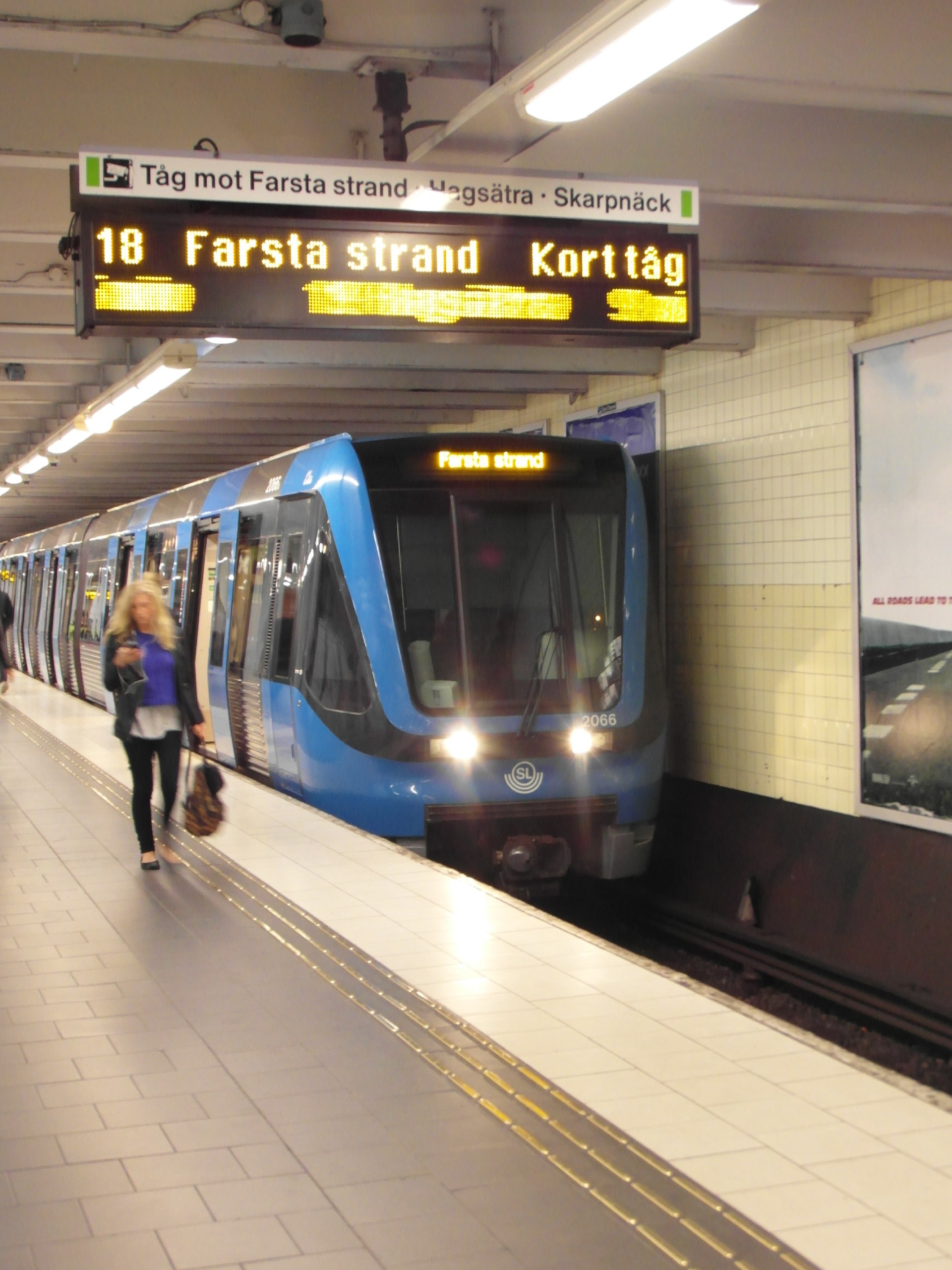
Featured image: Photo by Ximonic (Simo Räsänen), source, CC BY-SA 4.0
