Vasastan is a residential district immediately north of central Stockholm, built mostly between the 1880s and 1920s on a strict grid of streets. It sits on the mainland — not an island, unlike much of central Stockholm — between Norrmalm to the south and the Karolinska hospital area and Norra Djurgården to the north, and it is named after the Vasa royal dynasty.
Where Is Vasastan, and What Are Its Boundaries?
Vasastan occupies part of the district of Norrmalm (the parish and administrative borough), bordered roughly by Sveavägen and the Norra Station rail yards, running up toward Odenplan and beyond to Vanadislunden. It has no fixed municipal boundary in the way an island district does — it is a name applied to a swath of the northern city grid, distinct from the older, denser core described in the guide to Norrmalm and what was rebuilt there.
Because it sits on the mainland rather than an island, Vasastan is not part of the archipelago of landmasses that make up central Stockholm — a distinction explained in full in the overview of which islands Stockholm is actually built on.
Where Does the Name Vasastan Come From?
The name comes from the House of Vasa, the Swedish royal dynasty founded by Gustav Vasa in the sixteenth century. The area was formally named in the late nineteenth century as Stockholm expanded northward, and several streets and landmarks within it echo the same reference — most visibly Gustav Vasa Church, a red-brick domed building completed in 1906 that anchors one of the district’s main squares.
The district should not be confused with Vasabron, the bridge connecting Gamla Stan and Norrmalm, covered separately in the piece on what the Vasa Bridge is and how Stockholm’s islands connect. The name is shared, the geography is not.
How Was Vasastan Built and Laid Out?
Vasastan is a product of Stockholm’s late-nineteenth-century city plan, drawn up under city engineer Albert Lindhagen, which imposed broad, regular streets and connected squares onto what had been outlying farmland and market gardens. Sveavägen, one of the city’s principal north–south arteries, forms its western edge and runs directly toward the centre, terminating at Sergels Torg — described in the guide to what Sergels Torg is and why it looks the way it does.
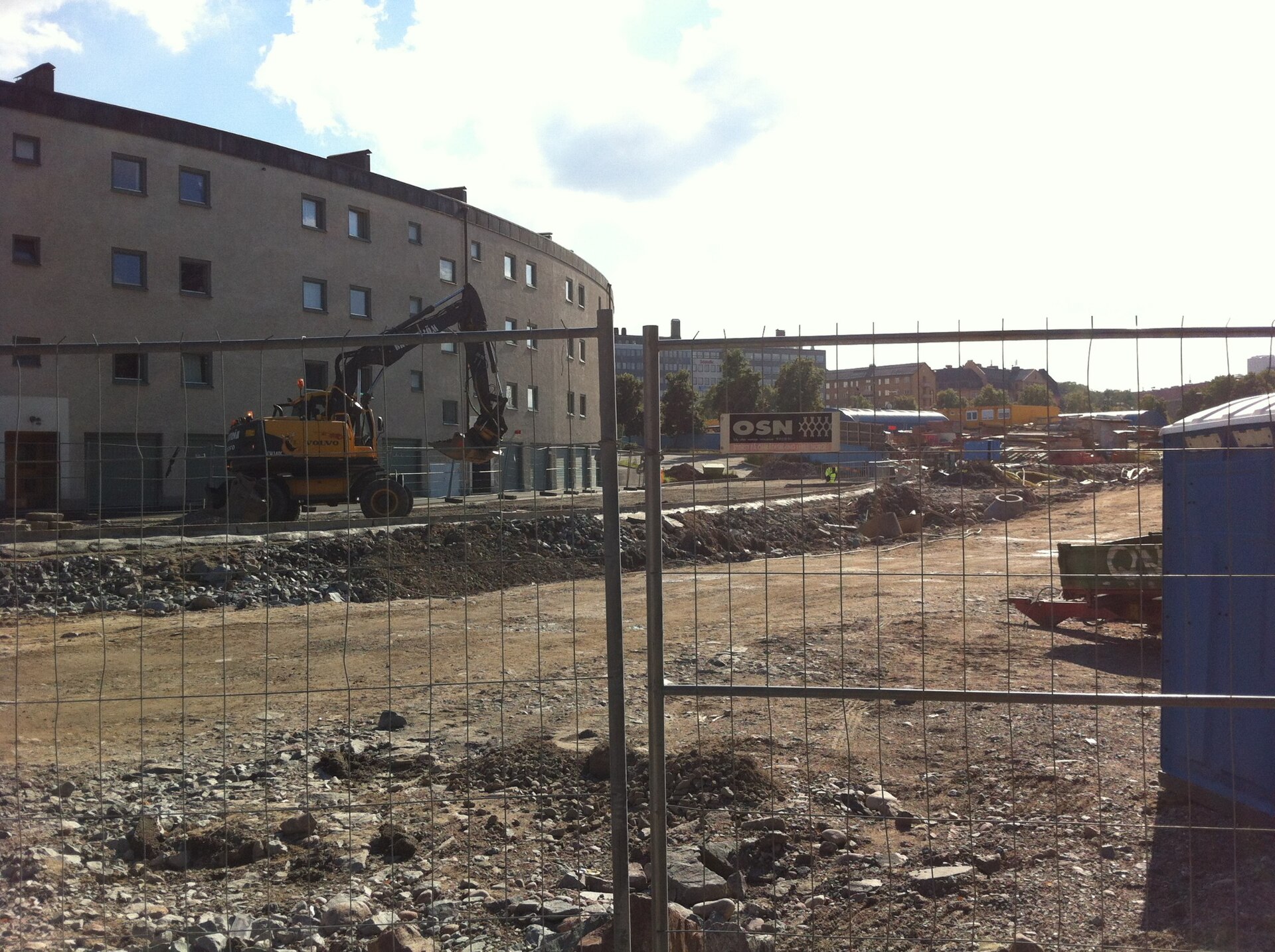
Construction filled the grid with five- and six-storey stone apartment buildings, a housing type Swedish planning history refers to as the “stenstad” or stone city, built to standard courtyard-block plans rather than individually designed façades. Many of these buildings still stand largely intact, which is part of why Vasastan reads today as a coherent architectural unit rather than a patchwork.
.jpg)
What Landmarks Define Vasastan?
Vasastan’s landmarks are civic and residential rather than monumental — it holds no royal palace or cathedral, but several buildings of real institutional weight:
- Stockholm Public Library — Gunnar Asplund’s 1928 building on Sveavägen, one of the most influential library buildings of the twentieth century, discussed in full in the guide to what the Stockholm Public Library is and why it is famous.
- Gustav Vasa Church — the domed Lutheran church that gives the district its central landmark and one of its main squares its name.
- Vasaparken — a public park of the same naming pattern, a green anchor for the surrounding residential blocks.
- Odenplan — a major square and transport interchange at the district’s northern edge, where Sveavägen meets Odengatan.
None of these are museum sites in the conventional sense, which marks Vasastan out from districts such as Djurgården, where the concentration of national collections is itself a documented phenomenon — see why so many of Stockholm’s museums are on Djurgården.
How Does Vasastan Compare to Other Central Districts?
Vasastan is often described alongside Kungsholmen, Östermalm and Södermalm as one of central Stockholm’s four principal residential districts, though it is the only one of the four built on the mainland grid rather than shaped by an island’s coastline.
- Kungsholmen is an island district west of the centre, home to City Hall and government offices.
- Östermalm is the district east of the centre, laid out with wider avenues and generally higher-value housing stock.
- Södermalm is the southern island district, built on higher, rockier terrain with a different street pattern entirely.
Vasastan’s grid is flatter and more regular than any of these, a direct legacy of the Lindhagen plan, and its apartment stock is broadly similar in age and construction to Östermalm’s, though generally on a smaller, less formal scale.
What Is Vasastan Like to Live In?
Vasastan functions today as a dense, largely residential inner-city district with a strong concentration of pre-war rental and cooperative apartments, independent shops along its side streets, and comparatively few large commercial developments compared with Norrmalm immediately to its south. Odenplan and the streets around Odengatan carry most of the district’s everyday commercial activity — food shops, cafés, pharmacies — while the blocks further north toward Vanadislunden are quieter and more purely residential.
The district’s grid pattern makes it straightforward to navigate on foot or by bicycle, and its position just north of the city centre means most residents can reach Norrmalm, the central shopping streets, or the metro system within a short walk. Broader patterns of daily life in the city’s residential districts — housing types, seasonal rhythms, how neighbourhoods differ from each other — are covered in the hub on what it is actually like to live in Stockholm.
How Do You Get To and Around Vasastan?
Vasastan is served by several metro stations, including Odenplan, Rådmansgatan and St Eriksplan, all on lines running toward the city centre, and Odenplan is additionally a stop on the Stockholm commuter rail network, connecting the district directly to the wider Mälardalen region without an interchange in the centre. Sveavägen and Odengatan also carry frequent bus routes.
As with the rest of the city’s public transport, fares run on SL’s zone-and-card system rather than single paper tickets, and specific fares and timetables should be checked on SL’s own site rather than assumed from older guides. General patterns of how the city’s transport system is structured — zones, cards, and how the metro, bus and rail networks connect — are set out in the archive on getting around Stockholm, and in the wider hub on planning a visit to Stockholm.
For a broader sense of how Vasastan fits alongside the city’s other named districts, the neighbourhoods archive and the Stockholm guide hub both set the district in context against Gamla Stan, Djurgården and the surrounding islands.
Access Stockholm is an independent guide written from published, checkable sources. We have not visited the places described here and we do not publish personal recommendations or invented ‘local favourites’ — where something is singled out as notable, we say who says so. Opening times, fares, closures and prices change at short notice, so treat everything here as a starting point and confirm with the museum, operator or venue directly before building a day around it. We give no advice on visas, insurance, health or safety; use your own government’s official guidance for those.
Featured image: Photo by Johan Jönsson (Julle), source, CC BY-SA 4.0
