Djurgården is an island in central Stockholm that has belonged to the Swedish Crown since the sixteenth century and is protected today as parkland under national law. That legal status — rather than zoning decisions made recently — is why it was never built up like the districts around it, and why it now holds open meadows, oak woodland, and a dense cluster of museums instead of apartment blocks.
What is Djurgården, exactly?
Djurgården is one of the islands that make up central Stockholm, sitting east of Östermalm and Gamla Stan and reached by bridge, tram, ferry or on foot. It functions as a park and cultural district rather than an ordinary neighbourhood: there are very few permanent addresses on it, and most of what stands there is a museum, a garden, or open land.
The name itself explains the original purpose. “Djurgård” translates roughly as “animal enclosure” or “deer park” — djur means animal, gård here carries the older sense of an enclosed ground. The island was fenced and stocked with deer for royal hunting from the 1500s onward, and that founding use as a hunting reserve is the reason it was kept clear of ordinary urban development from the start.
Who actually owns Djurgården?
Most of Djurgården remains the property of the Swedish state and the royal house, administered through a specific body: Kungliga Djurgårdens Förvaltning, the Royal Djurgården Administration. This is a distinct legal arrangement from how the rest of Stockholm is owned and managed, and it is the direct reason the island escaped the wave of nineteenth- and twentieth-century construction that shaped neighbouring districts.
Because the Crown held the land as a single estate rather than selling it off in plots, there was no equivalent of the private development that produced the grid streets of Vasastan or the layout of Östermalm just across the water. Djurgården stayed under unified management, which made it possible to keep large areas as open grazing, woodland and garden long after the surrounding city filled in.
What does “national city park” mean here?
In 1995, the Swedish parliament designated a large green corridor running through central Stockholm — including Djurgården, Haga, and the connecting waterways — as Nationalstadsparken, Sweden’s first National City Park. The designation exists in law specifically to protect the area’s parkland, tree stock, and open views from further building.
That legal protection is layered on top of the Crown’s existing ownership. Even where private development might otherwise be proposed on royal land, the national park status constrains what can be built and requires that green space and historic character be preserved. This is why Djurgården today reads as continuous parkland with buildings set into it, rather than a built-up district with a park attached.
Why does an island this central hold so many museums?
Djurgården has one of the highest concentrations of museums anywhere in Stockholm, including the Vasa Museum, the open-air museum Skansen, Nordiska Museet, and the art collections at Prins Eugens Waldemarsudde and Thielska Galleriet.
The pattern is tied directly to the land’s protected status. Because Djurgården couldn’t be sold off for housing or commercial building, large plots of royal and municipal land became available instead for cultural institutions — several of them founded specifically around the 1897 Stockholm Exhibition, which used the island’s open ground as its site. The full reasoning behind that clustering, and how each institution came to sit where it does, is covered in a dedicated piece on why so many of Stockholm’s museums are on Djurgården.

Does anyone actually live on Djurgården?
A small number of people do, mostly in caretaker housing and a handful of older residential buildings tied to the Royal Djurgården Administration or to specific institutions on the island. It is not, however, a residential district in the way Södermalm or Kungsholmen are, and it has no ordinary neighbourhood infrastructure — no grocery strip, no residential streets of the kind found across the water.
For residents of Stockholm more broadly, Djurgården functions closer to a large public park that happens to hold major museums: somewhere to walk, run, or cycle year-round, with the institutions as a secondary layer rather than the island’s core identity.
How does the parkland actually get used, season to season?
The open land supports grazing and woodland management much as it has for centuries, and the paths and meadows are used heavily for walking, running and cycling regardless of season. The museums and the amusement park Gröna Lund — one of Sweden’s oldest, dating to 1883 — sit on their own separate operating calendars, with several museums open year-round and Gröna Lund running on a seasonal schedule tied to spring through autumn.
Winter changes the feel of the island considerably: the seasonal attractions close or thin out, the paths and open ground get quieter, and several museums extend or adjust hours around the Swedish holiday calendar. As with anything time-based on this site, the reader should confirm current seasonal hours directly with the individual institution rather than relying on a fixed schedule here, since these change year to year.
How do you get to Djurgården, and does the island’s layout affect the route?
Because Djurgården is an island shaped by park rather than street grid, getting there depends on a short set of fixed connections rather than a dense network of roads: the Djurgårdsbron bridge from Östermalm, the historic tram line into the district, a passenger ferry from Slussen and Skeppsholmen, and bus routes serving the museum area. Storstockholms Lokaltrafik (SL), the regional transport operator, publishes current routes and timetables on its own site, and that is the source to check rather than a fixed figure printed here.
The lack of a conventional road grid is itself a consequence of the same protection discussed above — Djurgården was never platted as a district with through-streets, so movement across it has always run along paths designed for a park rather than for traffic.
How does Djurgården fit into the rest of Stockholm’s geography?
Stockholm is built across a cluster of islands connected by bridges, and Djurgården’s position as a royal, park-protected island is part of a wider pattern worth understanding in full — covered in a broader piece on which islands Stockholm is actually built on. Seen against that map, Djurgården’s continuous greenery stands out precisely because most of the surrounding islands were built up during the nineteenth and twentieth centuries, while this one was kept as a single royal estate under legal protection.
For planning a visit around the museums and parkland together, the practical detail — routes, seasonal notes, and how to sequence a day across the island — sits in the site’s broader guides to Stockholm’s museums, landmarks and neighbourhoods and to getting around and planning in the city, alongside the wider archive of Stockholm neighbourhoods and how the transport system works.
Access Stockholm is an independent guide written from published, checkable sources. We have not visited the places described here and we do not publish personal recommendations or invented ‘local favourites’ — where something is singled out as notable, we say who says so. Opening times, fares, closures and prices change at short notice, so treat everything here as a starting point and confirm with the museum, operator or venue directly before building a day around it. We give no advice on visas, insurance, health or safety; use your own government’s official guidance for those.
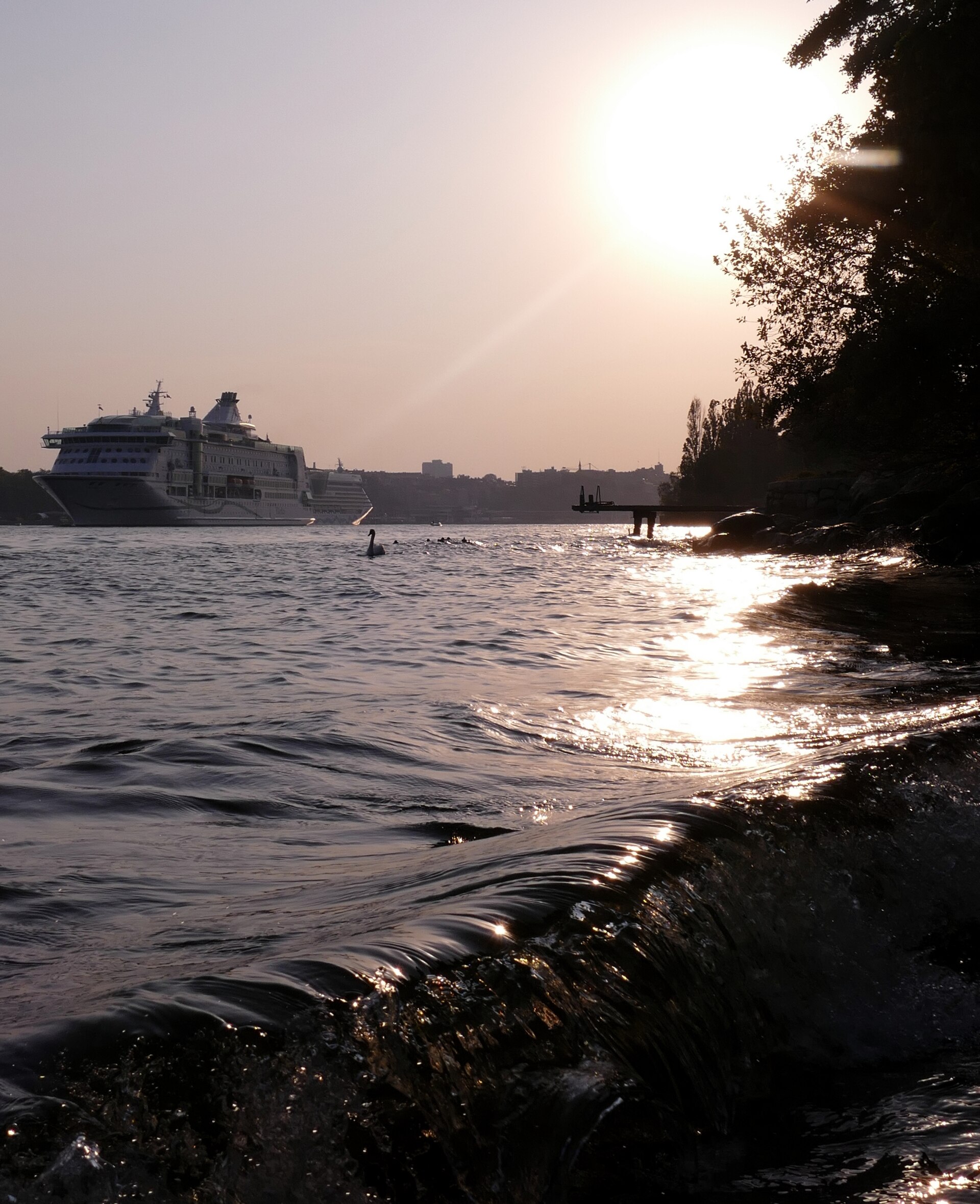
Featured image: Photo by Arild Vågen, source, CC BY-SA 3.0
