Stockholm is divided administratively in layers, not in one single map. The city sits inside Stockholm County, is itself a municipality with its own council, and is then split into a smaller number of district councils (stadsdelsnämnder) that run local services. The neighbourhood names visitors know — Södermalm, Östermalm, Gamla Stan — are a separate, older layer of geography that doesn’t line up neatly with any of the above.
What is Stockholm County, and how does it relate to the city?
Stockholm County (Stockholms län) is the regional tier. It contains 26 municipalities, of which the City of Stockholm is one — the largest, but administratively no different in kind from its neighbours such as Solna, Nacka or Sundbyberg.
The county has two separate authorities working over it, and they answer to different governments. Region Stockholm is the elected regional body responsible for healthcare and, through its transport authority SL (Storstockholms Lokaltrafik), the public transport network across the whole county. Länsstyrelsen i Stockholms län, the County Administrative Board, is the Swedish state’s own representative in the region, overseeing matters such as environmental permits and the protection of listed buildings. Neither of these bodies runs the City of Stockholm day to day.
What is the City of Stockholm, and what does it govern?
Stockholm stad — the City of Stockholm — is the municipality itself, one of the 290 kommuner in Sweden. It has its own elected assembly, kommunfullmäktige, and an executive board, kommunstyrelsen, both based at Stockholm City Hall on Kungsholmen. Readers curious about the building itself, rather than the institution, can see what happens inside it at Stockholm City Hall.
The municipality is responsible for schools, most social services, streets, planning permission, waste collection and much of the housing stock, through municipally owned companies. Public transport and hospital care, by contrast, sit with Region Stockholm rather than the city — a distinction that matters for anyone trying to work out which authority actually runs a given service.
What are the district councils, and what do they do?
Below the city government, Stockholm is split into a set of stadsdelsnämnder — district councils, sometimes translated as borough councils. Each covers a defined geographic area and runs a slice of the city’s own responsibilities locally: preschools, elderly care, social work and local parks maintenance, with a locally appointed board reporting up to the city council.
This is a genuinely administrative division, drawn for the purpose of delivering services, and it has been redrawn more than once. The number of district councils and their exact boundaries have changed over recent decades as the city has reorganised how it delivers care and education; a reform in the 2010s also moved school administration into a citywide department rather than leaving it entirely with individual district councils. Because these boundaries are periodically revised, the City of Stockholm’s own website is the authority to check for the current map and list of councils, rather than any fixed number repeated here.
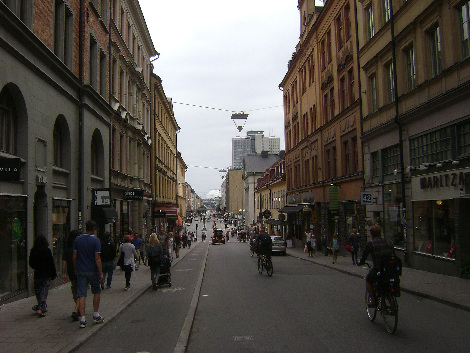
Some district council names correspond closely to neighbourhoods that residents and visitors already use — Kungsholmen, Södermalm and Östermalm each give their name to a district council roughly matching the popular area. Others cover several separate neighbourhoods under one administrative name, particularly in the outer city, where councils such as Hässelby-Vällingby or Skärholmen group multiple distinct residential areas that don’t share a single everyday name.
How do the well-known neighbourhoods fit into this system?
The names that structure most guides to the city — Södermalm, Östermalm, Norrmalm, Kungsholmen, Vasastan and Gamla Stan — are stadsdelar, a term better translated as “city districts” or simply neighbourhoods. They are older than the current administrative map, rooted in the city’s historical parishes and its physical geography of islands and water, which is covered separately in the piece on which islands Stockholm is actually built on.
These neighbourhood names are how Stockholmers actually refer to where they live, and how estate listings, restaurant reviews and most everyday conversation divide the city. They are not, however, units of government. A neighbourhood can sit wholly inside one district council, be split across two, or — as with the historic parishes still used by the Church of Sweden for some record-keeping — belong to yet another division again that overlaps with neither.
Statistics Sweden and the city itself also maintain a further, more granular layer of statistical areas — small zones used to report population, income and housing data — which exist purely for measurement and have no council or budget of their own.
Who actually runs public transport and healthcare?
Because these services sit with Region Stockholm rather than the municipality, they follow the boundary of the county, not the city. The SL transport network — buses, the Tunnelbana metro, commuter trains, trams and the archipelago boat routes — covers all 26 municipalities in Stockholm County using a shared zone and card system, detailed on SL’s own site. Healthcare, similarly, is organised by the region across the whole county rather than city by city.
This is worth knowing because it explains an apparent contradiction: a resident of Nacka or Solna, technically outside the City of Stockholm, uses exactly the same metro card and the same regional hospitals as someone living in Södermalm. The administrative city and the functional city are not the same shape.
Why does this matter for a visitor or a resident?
For a visitor, almost none of this layered structure is visible day to day. What matters practically is the neighbourhood layer — knowing that Djurgården holds most of the major museums, that Gamla Stan is the medieval core, that Södermalm and Östermalm sit on opposite sides of the water with very different characters — which is the layer covered across this site’s neighbourhood guides and the wider Stockholm guide.
For a resident, the administrative layer becomes relevant fairly quickly: which district council’s preschool queue applies, which authority to contact about a broken streetlight versus a hospital appointment, and why a housing search sometimes uses one set of area names and a tax or benefits form uses another. Anyone settling in the city rather than passing through will find that distinction addressed more fully in the guide to living in Stockholm, alongside practical detail on transport and daily logistics in the practical planning hub and the getting around archive.
None of these layers is secret, and none requires guesswork: the City of Stockholm’s own website publishes the current district council map and their responsibilities, Region Stockholm publishes the same for healthcare and transport, and Länsstyrelsen publishes its own regional remit. Where a specific boundary or current count matters for a particular purpose, those official sources are the ones to check, since the map beneath the city’s familiar neighbourhood names is redrawn more often than the names themselves.
Access Stockholm is an independent guide written from published, checkable sources. We have not visited the places described here and we do not publish personal recommendations or invented ‘local favourites’ — where something is singled out as notable, we say who says so. Opening times, fares, closures and prices change at short notice, so treat everything here as a starting point and confirm with the museum, operator or venue directly before building a day around it. We give no advice on visas, insurance, health or safety; use your own government’s official guidance for those.
Featured image: Photo by Zairon, source, CC BY-SA 3.0
