A walking route across Djurgården runs from Djurgårdsbron, the bridge at the island’s western end, to Waldemarsudde and Thielska Galleriet at its far tip — a paved, mostly flat path of roughly 4 to 5 kilometres, passing Skansen, Gröna Lund and Rosendals Trädgård on the way. It can be walked in under two hours, or a full day with museum stops.
Where does the route start, and how do you get there?
The route begins at Djurgårdsbron, the bridge connecting Djurgården to Östermalm near Strandvägen. It is a short walk from central Stockholm, reachable on foot from areas covered in Access Stockholm’s guide to central distances, or by bus 67, which terminates on the island. The Djurgården ferry is the other common approach, running from Skeppsholmen and Slussen and covered by the same SL travel card used on the metro and buses.
What is Djurgården, and why is the island laid out this way?
Djurgården is a former royal hunting ground — the name translates roughly as “animal garden” — that sits as an island and peninsula east of central Stockholm, separated from Östermalm by a narrow channel. It is managed by Kungliga Djurgårdens Förvaltning, the crown body responsible for the wider royal parkland, and forms part of what is formally designated a national city park, a status that restricts development on the land. Background on the island’s boundaries and history is set out in Access Stockholm’s overview of Djurgården.
That royal management is one reason the island reads as a single continuous green space rather than a series of separate parks, and why its museum cluster developed where it did — a subject covered separately in why so many of Stockholm’s museums sit on Djurgården.
What is actually along the route, in order?
Starting from Djurgårdsbron and heading east, the route passes a dense cluster of national institutions before opening into quieter parkland:
- Nordiska Museet and the Vasa Museum, close to the bridge, both major national collections
- The ABBA Museum and Junibacken, both aimed at broader visitor and family audiences
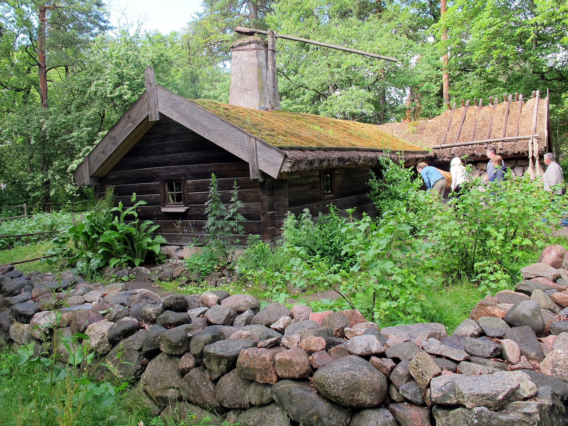
- Skansen, an open-air museum and zoo built from relocated historic buildings
- Gröna Lund, a fixed amusement park operating seasonally on the shoreline
- Rosendals slott and Rosendals Trädgård, a public garden and nursery run on biodynamic lines
- Prins Eugens Waldemarsudde, the former residence and studio of Prince Eugen, now a public art museum
- Thielska Galleriet, a private collection housed in a villa at Blockhusudden, on the island’s outer point
Individual entries on several of these sit in Access Stockholm’s own coverage, including what Skansen actually holds, what the Vasa Museum contains, what Waldemarsudde is, and what Thielska Galleriet’s collection is built around.

How long does the walk take, and is it flat?
The route is mostly level, on paved paths near the museums and gravel or packed earth once past Skansen. Walked without stopping, the distance from Djurgårdsbron to Blockhusudden takes roughly 60 to 90 minutes at an ordinary pace. Adding any of the museums extends this considerably — Waldemarsudde and Thielska Galleriet alone each warrant an hour or more, according to their own published visitor information, and Skansen is sized closer to a half-day.
There is no single “official” waymarked trail with numbered signs, so the route is best understood as a shoreline path with the museum cluster at one end and the two art museums at the other, rather than a fixed itinerary that must be followed in order.
How do you get back once you reach the far end?
From Blockhusudden, the practical options are to retrace the path, take bus 67 back toward Djurgårdsbron and the city, or use the Djurgården ferry if returning via Skeppsholmen or Slussen. In summer, a heritage tram service also runs along part of the route, operated separately from the regular SL network — details and current running dates should be checked against the operator’s own site rather than assumed. General questions about how ferries, buses and the travel card interact are covered in Access Stockholm’s guide to Stockholm’s commuter ferries and how the Stockholm travel card works across transport modes.
Does the route hold up in winter or in the rain?
The paths themselves stay open and are cleared to a reasonable standard, but several of the seasonal draws do not: Gröna Lund closes outside summer, and some outdoor sections of Skansen operate on reduced hours in winter. Given Stockholm’s short winter daylight, a full end-to-end walk is more realistic as a shorter loop between the museum cluster and Waldemarsudde. Planning around the season is covered in planning a Stockholm day in December’s short daylight and how to plan a Stockholm day in the rain.
Can the same route be cycled instead of walked?
Djurgården is a well-used cycling route, with a marked path running much of the island’s length and continuing around its outer edge past Blockhusudden. Cycling covers the same museum cluster and quieter parkland far faster than walking, though the paths near Skansen and the bridge get busy with pedestrians in summer. General rules for cycling in the city, including where lanes exist and how bike hire works, are set out in Access Stockholm’s guide to cycling in Stockholm.
What should residents know that a first-time visitor might not?
For anyone living in Stockholm, Djurgården functions less as a museum stop and more as a running, dog-walking and off-season walking route — the crowds concentrate near the bridge and Skansen, and the far end past Waldemarsudde is quiet for most of the year. Because the island is royal land managed as a national city park, general rules of open access work slightly differently here than on ordinary public land; the basics of that wider right of access are explained in what allemansrätten actually covers. The Djurgården ferry counts as an ordinary SL service, so anyone holding a monthly or annual travel card uses it exactly as they would a bus or metro line, at no extra cost — a point that is easy to miss and useful for anyone commuting through or living near the island.
For a wider sense of how this route fits against a single day in the city, or how it might be combined with the rest of the museum cluster, see Access Stockholm’s broader itineraries and day plans archive and its general coverage of Stockholm’s parks and archipelago.
Access Stockholm is an independent guide written from published, checkable sources. We have not visited the places described here and we do not publish personal recommendations or invented ‘local favourites’ — where something is singled out as notable, we say who says so. Opening times, fares, closures and prices change at short notice, so treat everything here as a starting point and confirm with the museum, operator or venue directly before building a day around it. We give no advice on visas, insurance, health or safety; use your own government’s official guidance for those.
Featured image: Photo by Arild Vågen, source, CC BY-SA 4.0
